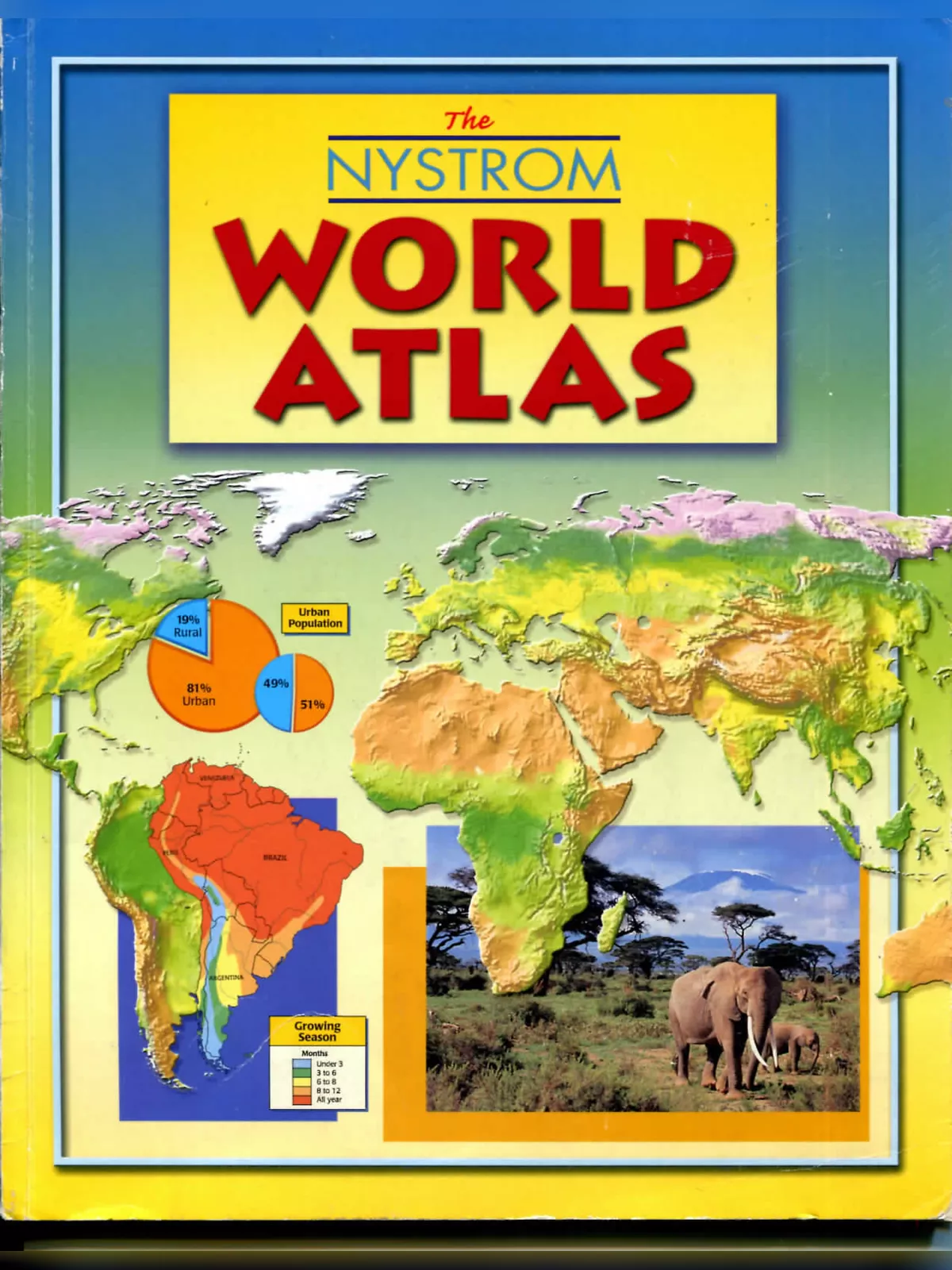
India Atlas Map Book 2025 Comprehensive Download - Summary
The India Atlas Map Book is a useful PDF resource for students, teachers, and anyone interested in learning about the geography and culture of India. This Atlas gives a clear picture of India’s vast landscape, diverse population, and unique group of states, showing its history and rich traditions in 2025.
About the India Atlas Map Book PDF
This helpful Atlas Map Book PDF provides detailed information about India’s geography and more. It covers many topics that help learners understand the physical and cultural sides of India and the world, making it great study material for 2025.
Contents Included in the Download
- An overview of the Solar System
- Physical features of the Earth
- Explanation of Earth’s structure
- How landscapes form
- Oceans around the world
- Understanding world climates
- Life on Earth
- How human activities affect the environment
- Population patterns and city settlements
- Languages and religions in different regions
- Global health indicators
- Distribution of water resources
- World economic systems
- International communication networks
- Political boundaries and leadership
- States, borders, conflicts, and disputes
- Standard time zones
Global Geographic Regions Covered
The India Atlas Map Book PDF also has detailed maps and information about different continents and regions, useful for increasing your geographical knowledge alongside India’s specific details.
North America
- Political and physical maps
- Satellite images
- Main areas like Canada, USA, Mexico, and Central America
- Detailed city maps
South America
- Political and physical features
- Satellite images
- Regions including the Amazon basin and main cities
Africa
- Political and physical maps
- Satellite images focusing on different regions
- Detailed city layouts
Europe
- Political boundaries and physical geography
- Satellite map views
- Coverage of countries and regions such as the UK, France, Germany, Russia, and the Mediterranean
- City maps
Asia
- Political, physical maps and satellite images
- Detailed info on Southwest Asia, Central Asia, South Asia (including India, Nepal, Bangladesh), East Asia, and Southeast Asia
- City maps for major urban centers
Australasia and Oceania
- Maps showing political and physical geography
- Satellite images of Australia, New Zealand, and Pacific islands
- Oceans like the Indian, Pacific, Atlantic, and polar regions like Antarctica and the Arctic
The India Atlas Map Book PDF is carefully made to make geography simple and interesting for learners of all ages. With updated information for 2025, it continues to be a well-known tool for education.
You can easily download the India Atlas Map Book PDF using the link below.
