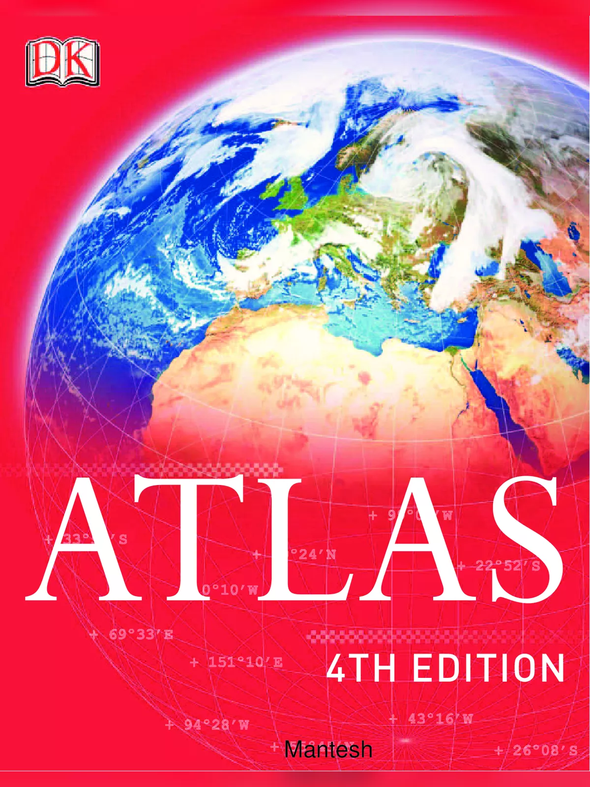
Complete Atlas Map of the World - Summary
An atlas is a wonderful collection of maps that helps us explore our world. The Complete Atlas Map of the World is your ultimate guide to today’s world, showcasing detailed maps of every continent. Among these maps are many types, like road maps and sky maps, which provide fascinating details about constellations and other celestial objects visible in the Northern Hemisphere. This atlas contains important information on climate, society, religion, and economics in different regions. About 500 years ago, in 1585, Gerardus Mercator, a famous mapmaker from Germany, created a book filled with maps. On the first page of this book, he narrated the famous story of Atlas. Since that time, we have referred to a collection of maps as an atlas.
What’s Inside the Complete Atlas Map of the World?
World Overview
- The Solar System
- The Physical World
- Structure of the Earth
- Shaping the Landscape
- The World’s Oceans
- The Global Climate
- Life on Earth
- Man’s Impact on the Environment
- Population & Settlement
- Languages & Religion
- World Health
- Water Resources
- The Economic System
- Global Communication
- The Political World
- States, Borders, Conflicts & Disputes
- Standard Time Zones
North America
- North America Political Map
- North America Physical Map
- North America Satellite Image
- Canada
- Northern Canada
- Western Canada
- Southwest Canada
- Eastern Canada
- United States of America
- US: NE States & Southeast Canada
- US: Boston to Washington DC
- US: Eastern States
- US: Southeast States
- US: Texas
- US: Great Lakes States
- US: Great Plains States
- US: Northwest States
- US: Southwest States
- US: California
- US: Alaska & Hawaii
- Northern Mexico
- Southern Mexico
- Central America
- The Caribbean North American City Plans
South America
- South America Overview
- South America Political Map
- South America Physical Map
- South America Satellite Image
- Northern South America
- Western South America
- Including Galapagos and Amazon Basin
- Eastern Brazil
- Southeast Brazil
- Central South America
- River Plate
- Southern Argentina & Chile
- Central Chile and Argentina
- South America City Plans
Africa
- Africa Political Map
- Africa Physical Map
- Africa Satellite Image
- Northeast Africa
- Northwest Africa
- West Africa Including Cape Verde
- Central Africa
- East Africa
- Southern Africa Including Madagascar and Comoros
- South Africa City Plans
Europe
- Europe Political Map
- Europe Physical Map
- Europe Satellite Image
- Scandinavia, Finland & Iceland
- United Kingdom & Ireland
- Northern Britain & Ireland
- Southern Britain
- The Low Countries
- France
- Northern France
- Southern France & the Pyrenees
- The Iberian Peninsula
- Southern Iberia
- The Italian Peninsula
- The Alpine States & Northern Italy
- Germany
- Rhineland & Hamburg
- Central Europe
- Southeast Europe
- Greece
- Romania, Moldova & Ukraine
- The Baltic States & Belarus
- Russian Federation
- Northern European Russia
- Southern European Russia
- The Mediterranean
- European City Plans
Asia
- Asia Political Map
- Asia Physical Map
- Asia Satellite Image
- Southwest Asia
- Turkey & the Caucasus
- The Near East
- Israel & Lebanon
- The Arabian Peninsula
- Iran
- Central & South Asia
- Kazakhstan
- Central Asia
- Afghanistan & Pakistan
- Northern India, Nepal & Bangladesh
- Southern India & Sri Lanka
- East Asia
- Western China
- Southeast China
- Yangtze River Valley
- Yellow River Valley
- Northeast China
- Korea & Japan
- Southern Japan
- Northern Japan
- Southeast Asia
- Mainland Southeast Asia
- Western Maritime Southeast Asia
- Eastern Maritime Southeast Asia
- Philippines
- Asian City Plans
Australasia & Oceania
- Australasia & Oceania
- Australasia & Oceania Political Map
- Australasia & Oceania Physical Map
- Australasia & Oceania Satellite Image
- Australia
- Southeast Australia
- New Zealand
- Papua New Guinea & Melanesia
- Micronesia
- Polynesia
- Pacific Ocean
- Indian Ocean
- Atlantic Ocean
- Antarctica
- The Arctic
You can download the Complete Atlas Map of the World PDF using the link given below. This PDF is perfect for anyone looking to explore and learn about the world.
