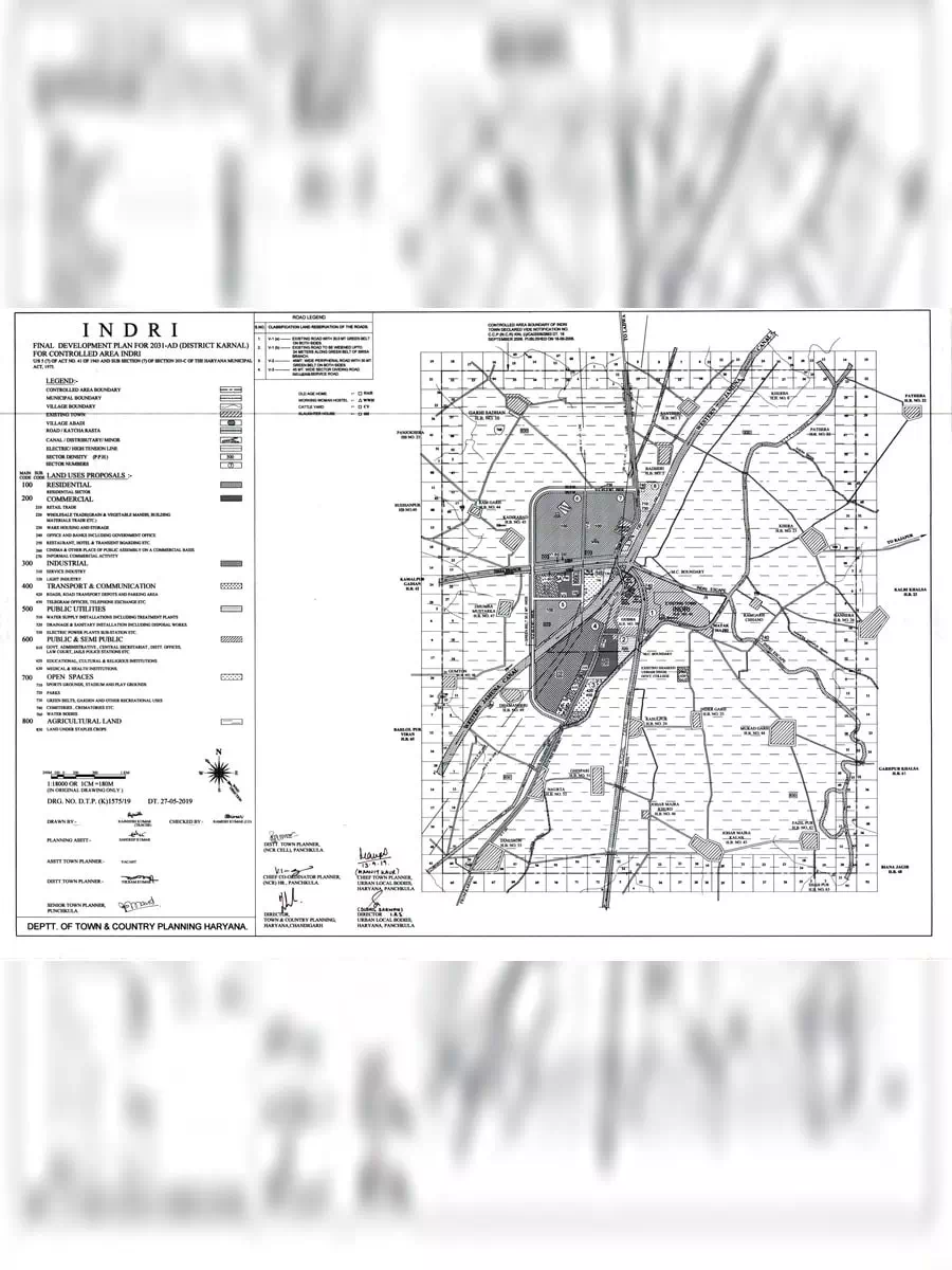
Indri Master Plan 2031 - Summary
The town Indri is situated on the Karnal-Ladwa Road at a distance of about 22 Kilometers from National Highway Number 44, Delhi-Ambala-Amritsar Grand Trunk Road, north-east of Karnal and on eastern side of western Jamuna Canal from which Sirsa Branch starts.
A master plan is a land-use plan focused on one or more sites within an area that identifies access, general improvements and needed infrastructure, and intended to guide growth and development over a number of years and in phases.
The master plan is an overarching planning document and spatial layout which is used to structure land use and development. ‘Master plan’ is an all-encompassing term. Its scope can range from 10-year implementation at the regional scale, to an illustrative plan of small scale groups of buildings.
Download the Indri Master Plan 2031 in PDF format using the link given below or alternative link.