
Jaitaran Master Plan 2033 - Summary
Jaitaran Master Plan 2033 is the statutory urban development and land use framework prepared by the Town Planning Department, Government of Rajasthan for the Jaitaran municipal area in Pali district. Formulated under the Rajasthan Urban Improvement Act, 1959, the plan sets the spatial layout, zoning boundaries, and infrastructure network to guide growth up to the horizon year 2033.
Planning sheets in Jaitaran Master Plan 2033
The 4-page map PDF contains official planning sheets notified by the Additional Chief Town Planner:
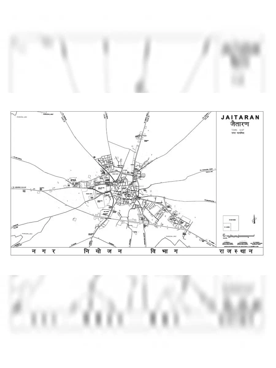
- Sheet 1 features the Town Map showing municipal road networks and connectivity toward National Highway 112 (Bar to Barmer).
- Sheet 2 displays the Existing Land Use Map 2009 detailing old settlements, commercial markets, administrative offices, and agricultural zones.
- Sheet 3 presents the Proposed Land Use Plan 2033 outlining residential sectors, commercial centers, industrial areas, and public amenities.
- Sheet 4 illustrates the Urban Area Plan demarcating the notified municipal boundary and the twelve surrounding revenue villages.
Land use verification and official portal
Plot owners, builders, and farmers use these land use maps to verify zoning classifications, road right-of-way reservations, and green buffer belts before submitting building plans or land conversion requests. The state government initially notified the planning area under Section 3(1) on 24 December 2009 and issued the final notification under Section 7(1) on 30 November 2011.
For planning frameworks in nearby towns of Pali district, refer to the Sojat Master Plan 2031 and Sumerpur and Sheoganj Master Plan 2031. Official spatial maps and urban notifications are published on the portal of Urban Development and Housing Department Rajasthan.


