India Blank Map - Summary
India Blank Map PDF is an essential resource that helps you locate all the boundaries of the states in the country. This blank map serves as a perfect guide for geography students to learn about the various states in India along with their borders. India is a republic composed of 28 states and eight union territories. Our nation’s economy is quite diversified, encompassing industries such as traditional rural farming, modern agriculture, handicrafts, various current industries, and many others.
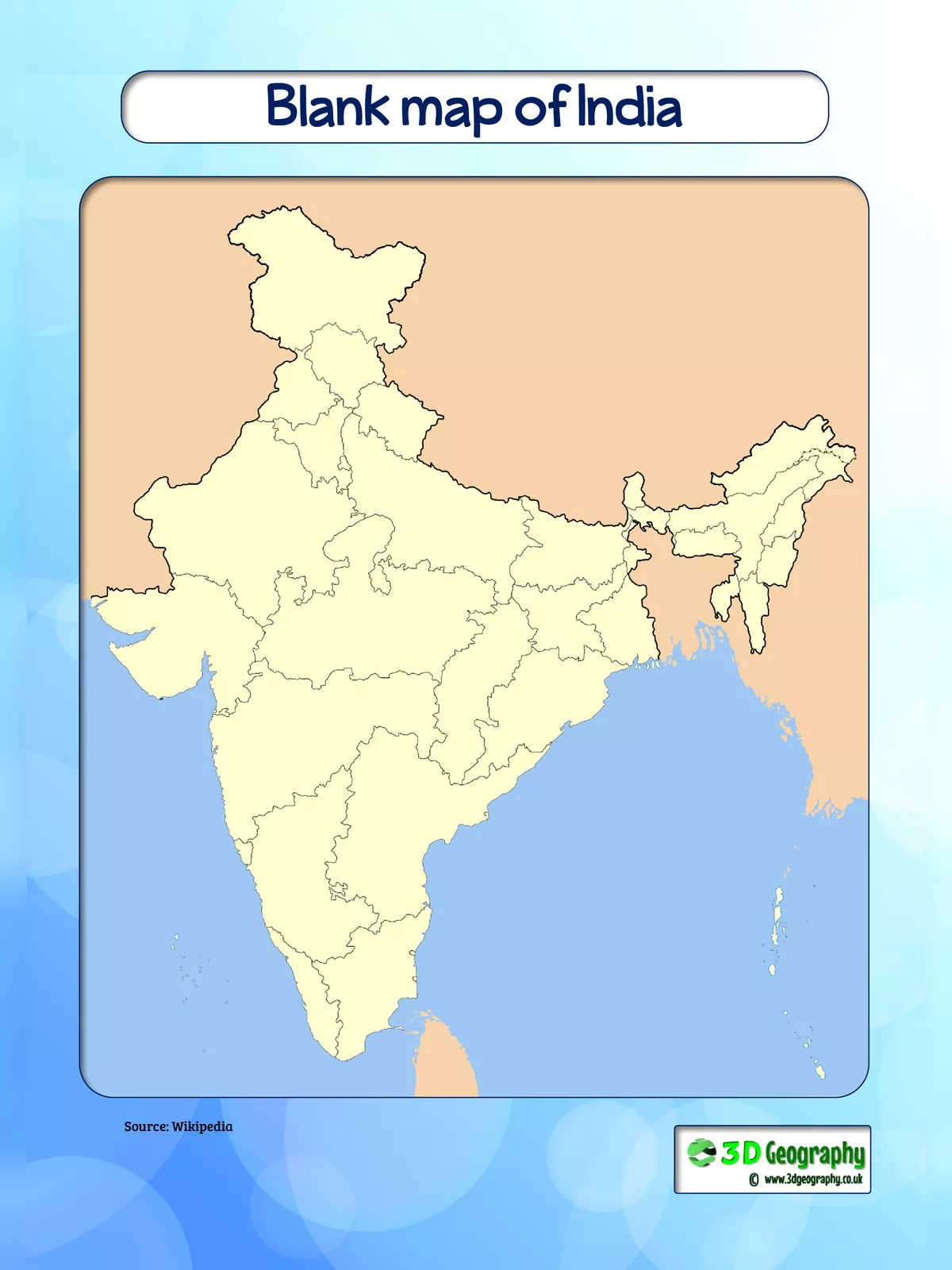
The blank map of India displays the country’s shape empty, allowing you to use it for personal activities or educational purposes with children, like drawing. India ranks as the seventh-largest nation in the world in terms of geographical area. Moreover, it is the second-largest country in Asia and shares international boundaries with countries such as Burma, Bangladesh, China, Bhutan, Pakistan, and Nepal. The total area of the country is 3,287,240 sq km, and its coastline extends over 7,517 km, bordered by the Arabian Sea, the Bay of Bengal, and the Indian Ocean.
India Blank Map Zone Wise
All the states and territories of the country can be divided into the following zones:
- South Zone
- North Zone
- West Zone
- East Zone
- North East Zone
- Central Zone
A Blank Map of India provides sufficient geographic information that allows users to add their information and understand the relationship between them. This map primarily shows the borders of the country. A Physical Blank Indian Map provides basic information about specific regions. The outline map of India provided can be used for various purposes. This blank map clearly shows the structural lines of the country.
The outline map of India below is a blank India map with all the state boundaries. This India Outline Map is ideal for teaching children about the states of India and their borders. You can easily download a printable India blank and outline map for school and classroom learning, all for free.
You can download the India Blank Map PDF using the link given below.