Maps of India
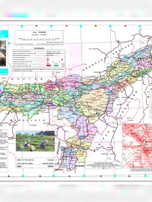
Assam Map 2025
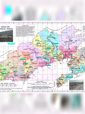
Arunachal Pradesh Map 2025
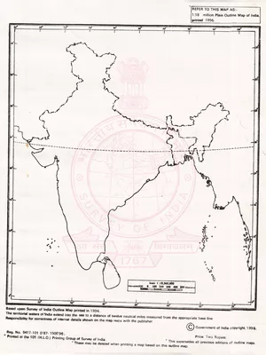
India Outline Map
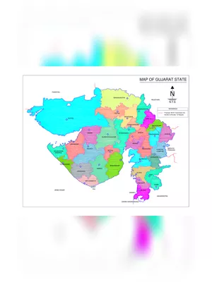
Gujarat Map
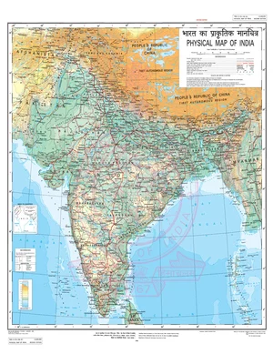
Physical Map India
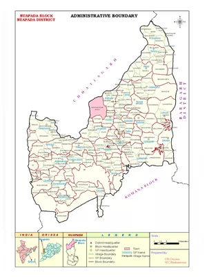
Nuapada District Map
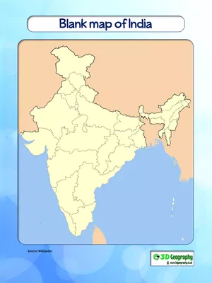
India Blank Map
भारत का प्राकृतिक मानचित्र
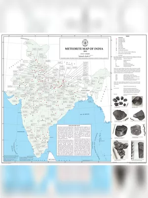
Meteorite Map of India
Copy URL