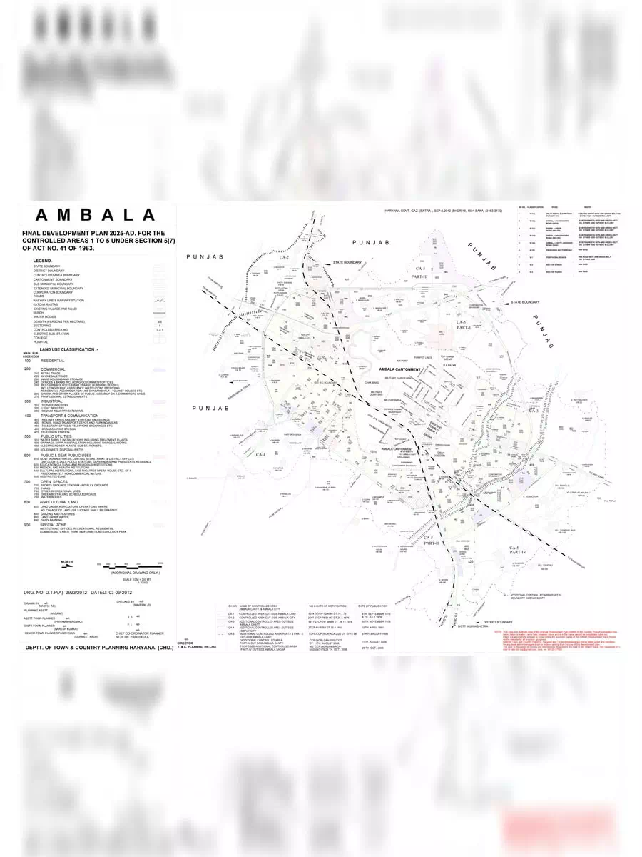
Ambala Master Plan 2025 - Summary
The Ambala Master Plan 2025 is a key land-use plan designed to guide the growth and development of Ambala over the coming years. This master plan outlines important aspects such as access, general improvements, and the infrastructure needed to support our community’s progress. By laying out these details, the plan aims to create a better environment for everyone.
Understanding the Master Plan
A master plan serves as a comprehensive planning document and provides a spatial layout for land use and development. The term ‘master plan’ covers a wide range of applications. It can be designed for a 10-year framework at a large regional scale or can also focus on a smaller area with specific groups of buildings.
Why is the Master Plan Important?
The Ambala Master Plan is crucial for ensuring organized development in our city. It helps local authorities make informed decisions about infrastructure, transportation, and community facilities. By following this plan, Ambala can attract investment, enhance public services, and improve the standard of living for its residents.
You can download the Ambala Master Plan 2025 in PDF format using the link given below for more detailed information. This PDF will help you understand the future developments planned for our city.
