Physical Map of India Blank Printable - Summary
This Physical Map of India Blank Printable is a fantastic resource for anyone eager to learn about the borders of our great nation. This map can be downloaded for free, making it easy to print and use whenever you need it. Whether for school geography lessons or self-study at home, this map serves as an excellent base for various geography activities for students.
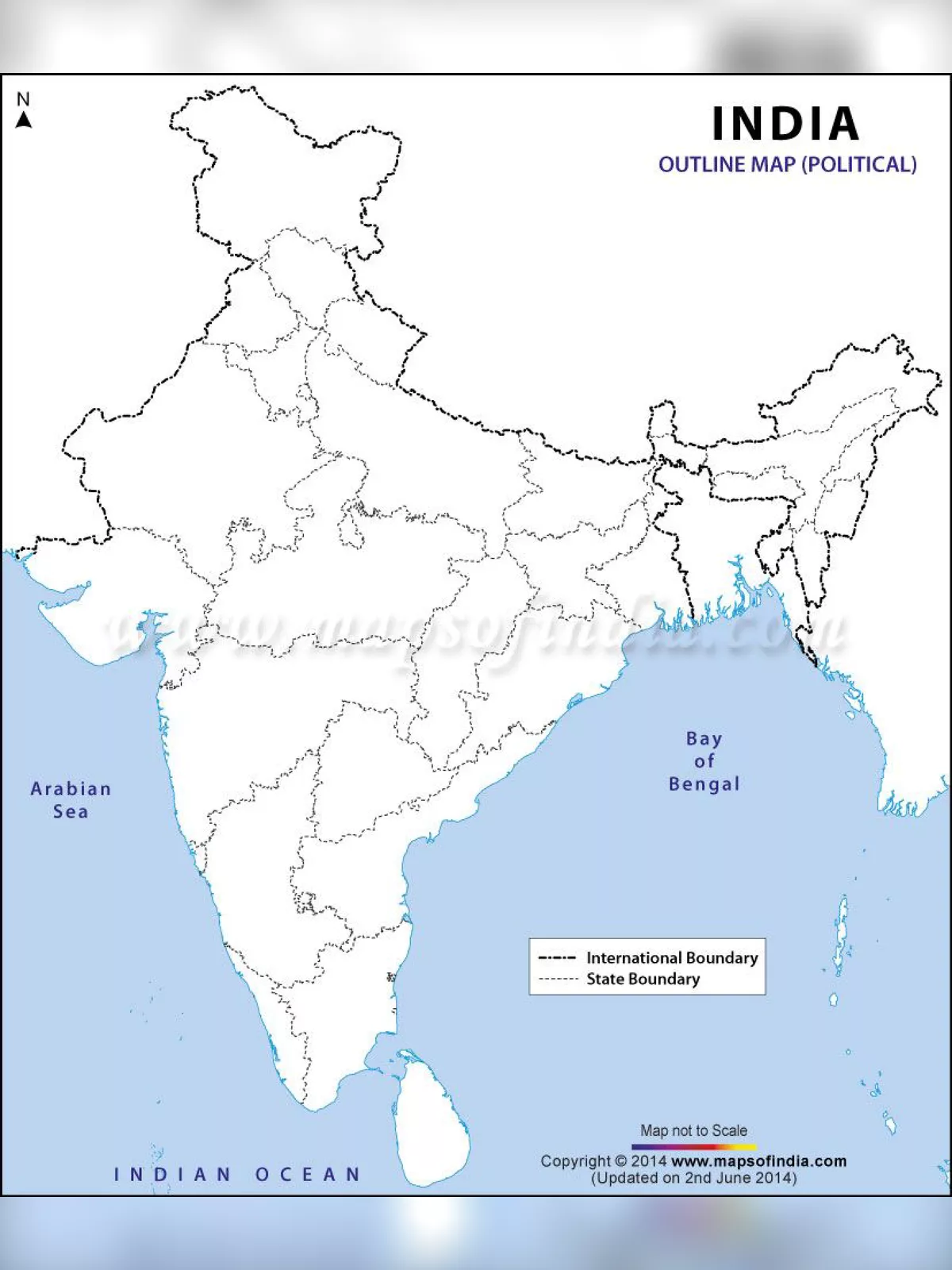
Uses of the Blank Map of India
An outline map of India can be utilized in many ways. This blank map showcases the structural lines of the country, with areas sharing international borders highlighted a little darker. It’s a great tool for parents to help teach their children how to label different physical and political features on the map.
Children can also express their creativity by colouring the map as they like, which helps them learn and memorise the international boundaries of India in a fun way! 🌏
Important Information about India
India is one of the largest countries globally in terms of geographical area and is the second most populous nation. It ranks as the seventh largest country in the world. India shares its international borders with China, Bhutan, Bangladesh, Pakistan, Burma, and Nepal. The country is divided into 28 states and eight union territories, surrounded by water on three sides: the Arabian Sea to the west, the Bay of Bengal to the east, and the Indian Ocean to the south.
You can easily download the Physical Map of India Blank Printable PDF using the link provided below.