India Outline Map - Summary
India Outline Map PDF helps you explore the boundaries of all the states in the country. This map is a perfect guide for geography students to learn about the various states of India and their frontiers. You can find blank outline maps of India in both online and offline formats. The offline version is a printable outline map that serves educational purposes.
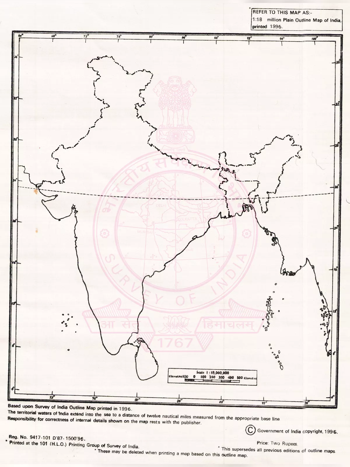
India is a republic comprising 28 states and eight union territories. The country’s economy is quite diverse, featuring industries like traditional farming, modern agriculture, handicrafts, various current industries, and many others. As the second-largest country in Asia, India shares its international borders with nations like Burma, Bangladesh, China, Bhutan, Pakistan, and Nepal.
Understanding the India Outline Map
Importance of the India Outline Map
One significant advantage of using a blank outline map of India is that it highlights the international boundaries of the nation with neighbouring countries such as Bangladesh, Pakistan, China, Nepal, Burma, and Bhutan. You can also glimpse the Bay of Bengal, Indian Ocean, and the Arabian Sea that surround the southern part of the country.
All the states and territories of India can be grouped into the following zones:
- South Zone
- North Zone
- West Zone
- East Zone
- North East Zone
- Central Zone
You can download the India Outline Map PDF using the link given at the bottom of this page. 🌏
Make sure to download this valuable resource for your study and learning!