Tamil Nadu River Map - Summary
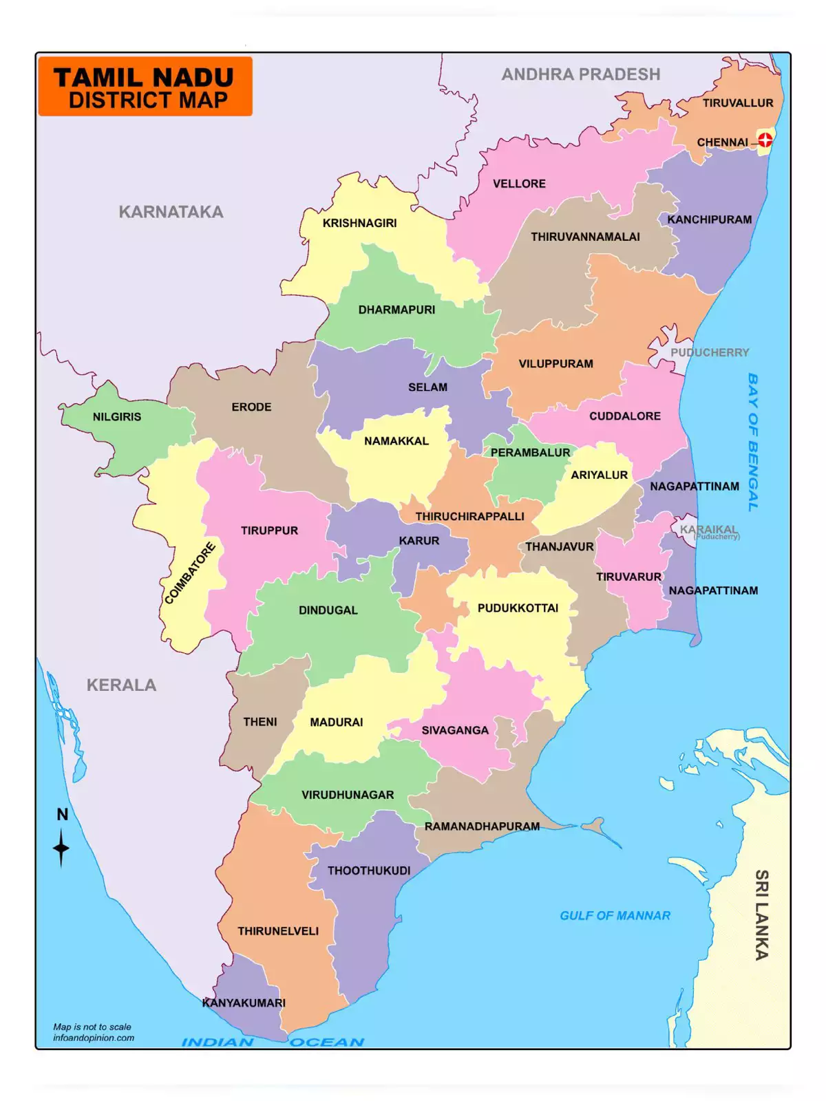
Tamil Nadu, the southernmost state of India, is rich in rivers that play a vital role in its agriculture and daily life. Bounded by Andhra Pradesh to the north, Karnataka to the northwest, and Kerala to the west, it has the Bay of Bengal on the eastern coast and the Indian Ocean to the south. With a higher percentage of the rural population, agriculture remains the primary means of livelihood for many in this state.
Importance of Rivers in Tamil Nadu
The rivers of Tamil Nadu are essential for irrigation and drinking water. They support the agricultural activities that a large part of the rural population depends on for their daily needs. These rivers also contribute to the state’s economy and are a lifeline, especially during the dry season.
Discover and Download the Tamil Nadu River Map
The Tamil Nadu River Map provides detailed information about the state’s rivers, including their routes and significance. You can download the Tamil Nadu River Map in PDF format using the link given below. This PDF map will be a helpful resource for students, tourists, and anyone interested in the geography of Tamil Nadu.
