India River Map Outline - Summary
An outline map of India is essential for locating and understanding all the rivers across the states in the country. This India river map outline serves as a perfect guide for geography students to learn about the various rivers in India. Major rivers such as the Ganges (along with its tributaries Kameika, Yamuna, Chambal, and Gomti), Brahmaputra, Godavari, Mahanadi, Kaveri, and Krishna flow into the Bay of Bengal. The Indus, Tapti, and Narmada Rivers, along with their key tributaries, flow into the Arabian Sea.
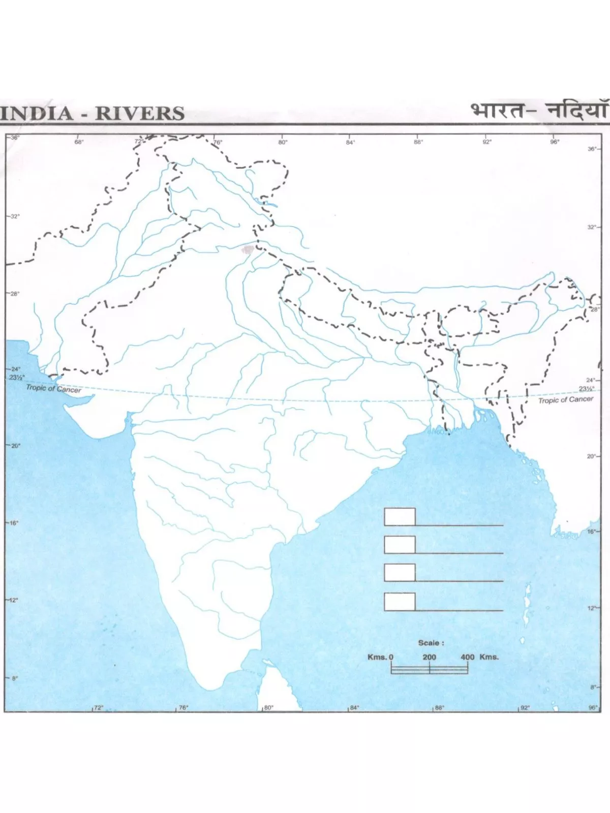
For students preparing for exams, a blank India river map is often needed for practice. Many parents find themselves in a rush to buy these maps at unusual hours. To help, we provide this unmarked rivers map of India, which offers excellent practice opportunities for students.
Understanding the India River Map Outline – Key Himalayan Rivers
- The Indus River System: The reference to the Indus River, also known as the Sindhu River, is found in early Hindu scriptures and mythological texts. It is often called the ‘Puranik River’ and originates in Tibet near Mansarovar Lake.
- The Ganga River System: The Ganga (Ganges) River system is the largest river system in India. It starts from the Gangotri glaciers. The upstream Bhagirathi flows and joins another stream, Alaknanda, at Devprayag to form the River Ganga.
- The Yamuna River System: The Yamuna is a major river system in Northern India. It rises from Yamnotri and flows through Uttarakhand, Uttar Pradesh, and Haryana. This river passes through Delhi, Mathura, and Agra, meeting with the Chambal, Betwa, and Ken rivers before finally joining the Ganga at Allahabad.
- The Brahmaputra River System: The Brahmaputra, one of the significant rivers in India, originates from the Angsi glacier in Tibet and is known there as the Tsangpo River. When it enters India in Arunachal Pradesh, it is referred to as the Dihang River.
You can download the India River Map Outline PDF using the link provided below for easy reference and practice. Enjoy your learning journey with this resource!