Blank Political Map of India - Summary
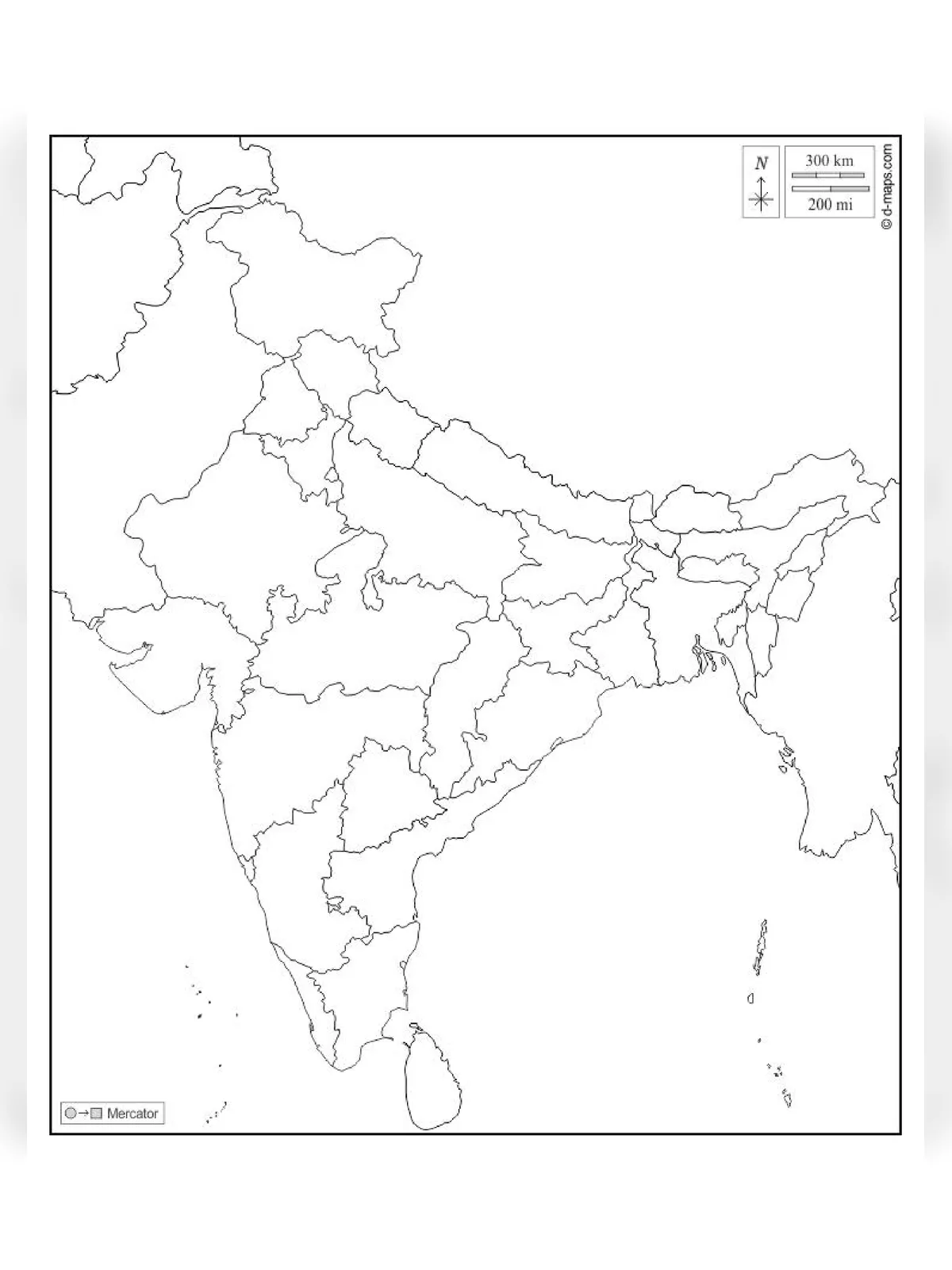
Politically India is divided into 29 states and 7 union territories. States are further divided into districts. Each state has a separate state government elected by the people of that specific state for its administrative needs. It is a democratic country with a parliamentary system. The Constitution of India is the source of the legal system in India.
In the territorial extent 3214 Km North to South, 2433 km West to East, the frontier of 15200 Km, Latitude: 8 4’ to 37 6’, Longitude: 68 7’ to 97 25’. The northernmost point is Indra Col (Siachen), the South point is Indra point (Nicobar Islands), West Point: is Guhar Moti (Sir Creek, Gujrat), and East Point is Kibitz (Andhra Pradesh).
Blank Political Map of India – Overview
| File Name | Blank Political Map of India |
| Uses | For Students and other |
| Country Map | India |
| Issued by | Indian Government |
| Official Website | surveyofindia.gov.in |
| Blank Political Map of India PDF | Download PDF |
India has 12 major ports and 185 Minor ports. Major ports come under the jurisdiction and Minor ports under State Government Jurisdictions. The major ports of India are Kandla (Gujrat), Mumbai (Maharashtra), Jawahar Lal Nehru Port Navi Mumbai (Maharashtra), New Manglor Port (Karnataka), Kochi Port (Kerela), Tuticorin Port (Tamilnadu), Chennai Port (Tamilnadu), Vishakhapattanam Port (Andhra Pradesh), Paradeep (Orrisa), Haldia (West Bengal), Kolkata Port (West Bengal), Ennore Port (Tamilnadu).
You can download the Blank Political Map of India PDF using the link given below.