Purvanchal Expressway Map - Summary
Purvanchal Expressway Map
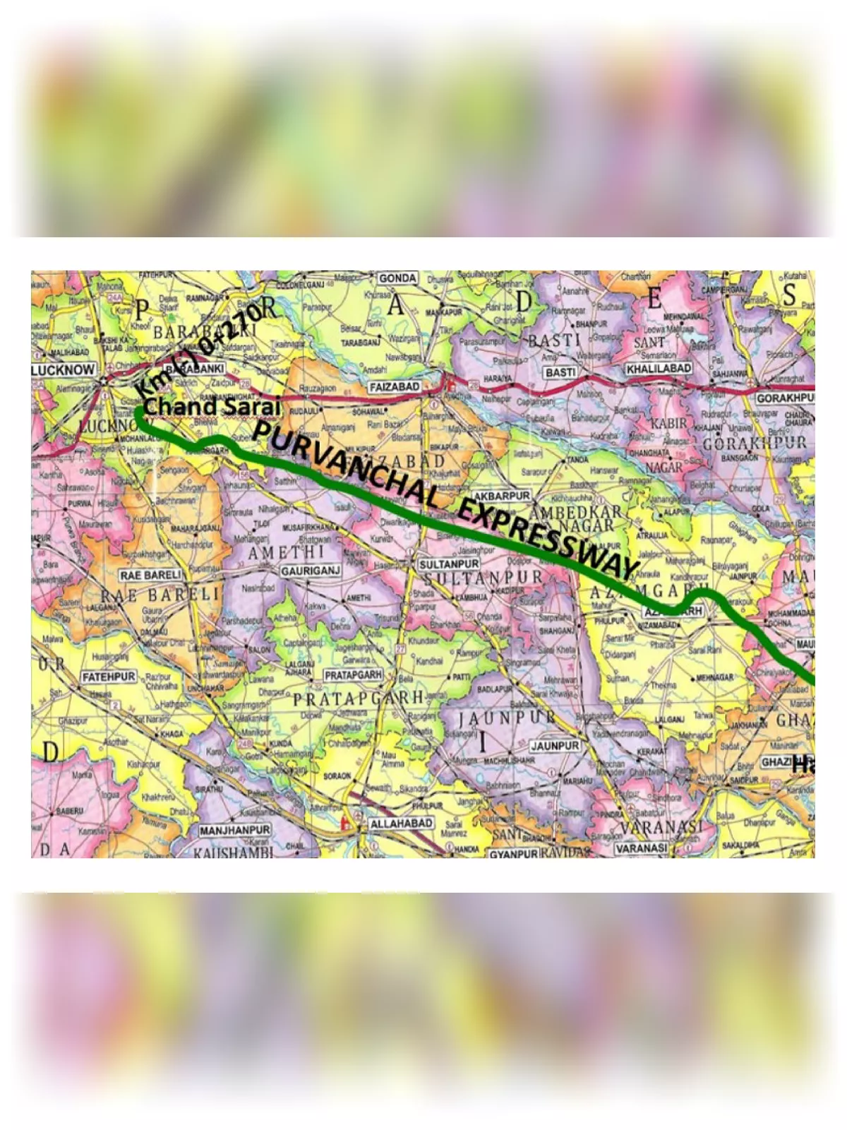
Purvanchal Expressway Map is essential for anyone wanting to understand this major roadway. The Purvanchal Expressway is an important project by UPEIDA, featuring a 6-lane access-controlled road that connects Chand Sarai Village in Lucknow District to Haidaria Village in Ghazipur District. You can easily download the Purvanchal Expressway HD Map PDF from the link provided at the bottom of this page. This expressway plays a crucial role in linking various districts, including Lucknow, Barabanki, Sultanpur, Ayodhya, Ambedkar Nagar, Azamgarh, Mau, and Ghazipur, making travel more convenient for everyone. 🛣️
Overview of the Purvanchal Expressway
The Purvanchal Expressway project is a greenfield initiative announced in May 2015, initially named the Lucknow – Azamgarh – Ballia Expressway. Shortly after the announcement, land acquisition work commenced. The foundation stone was laid by Prime Minister Narendra Modi in July 2018, and construction officially began in October 2018, with five contractors working across eight civil packages.
Key Highlights of the Purvanchal Expressway
The expressway was inaugurated and opened to traffic on November 16, 2021, achieving its goal despite previous deadlines set for May-end.
- Total Estimated Cost: Rs. 22,494 crore
- Original Deadline: October 2021
- Opened: November 16, 2021
- Total Length of the Project: 340.824 km
- Number of Lanes: 6
- Status: Under Construction
- Owner: Uttar Pradesh Expressways Industrial Development Authority (UPEIDA)
- Project Model: EPC (Engineering, Procurement, and Construction)
The starting point of the expressway is Km (‐)0+270 at Village Chand Sarai (Dist. Lucknow), connecting to National Highway NH‐56 (approximately 1.7 Kms before Gosainganj). From there, the route heads towards the southeast, bypassing Azamgarh city and eventually terminating at Haidariya (Dist. Ghazipur) at the end chainage of Km 340+500.
You can download the Purvanchal Expressway Map PDF using the link given below.