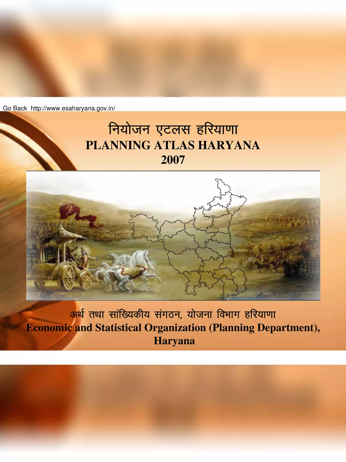
Planning Atlas Haryana - Summary
As Haryana celebrates many years of independence, it continues to face inter-state differences that challenge the state’s development process. The Planning Department of Haryana is committed to improving this situation by focusing on key indicators that highlight inter-state, inter-division, and inter-district disparities. This effort aims to reduce regional imbalances. To address these challenges and promote better planning, the Planning Atlas Haryana was established in 2007.
Understanding the Planning Atlas Haryana
The Planning Atlas Haryana is a comprehensive tool that consists of three important components:
- Detailed maps and charts illustrating various positions and indicators of development
- A ranking system based on the level of development in different districts
- A classification of districts according to their development indicators
Comparative Analysis of Districts
The Atlas effectively categorizes districts into four comparative positions based on crucial development indicators. It features detailed maps and charts that provide a clear overview of the existing development levels in each district.
To explore Haryana’s development further through the Planning Atlas, you can easily download the PDF file of Planning Atlas Haryana. This resource will help you gather important information about the state’s planning strategies and understand its growth better. Don’t miss out on this informative PDF! 📄
