Haryana Geographic Map - Summary
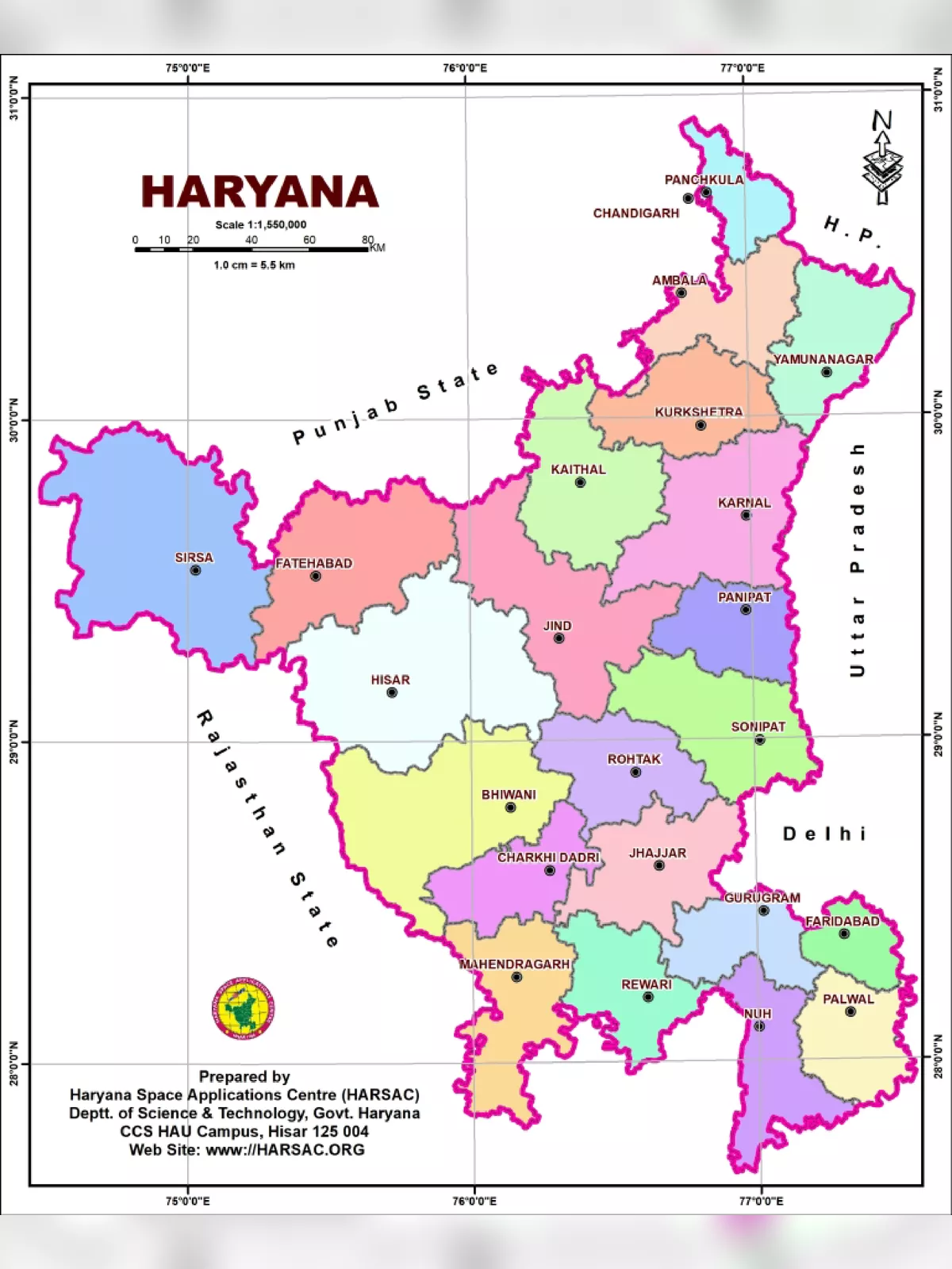
Haryana is a vibrant state in the northern region of India, renowned for its rich culture and varied geography. With 22 districts, Haryana ranks as the seventeenth most populous state in the country. It shares its borders with Punjab and Himachal Pradesh to the north, and Rajasthan to the west and south, making it a crucial area in northern India.
The river Yamuna outlines its eastern border, creating a natural boundary with Uttarakhand and Uttar Pradesh. In addition to this, Haryana encircles Delhi on three sides, forming the northern, western, and southern boundaries of the capital. Consequently, a significant part of Haryana is included in the National Capital Region, which enhances its significance.
Geographical Features of Haryana
Haryana is a non-coastal and inland state, with an elevation ranging from about 200 meters to 1200 meters (700 to 3600 feet) above sea level. The geography of Haryana can be classified into several distinctive regions, each offering unique features:
- The Shivalik mountain range in the northeast
- The Yamuna-Ghaggar basin, which comprises the largest portion of the state
- The Aravalli mountain range in the south
- Semi-arid sandy plateaus found in the southwest
Haryana Geographic Map
You can easily download the Haryana Geographic Map PDF using the link provided below. This map is a useful tool for students and anyone curious about the geography of Haryana. Don’t miss out on this wonderful chance to enhance your knowledge! 📥