Karnataka Map with Districts and Taluks - Summary
Karnataka Map – The Karnataka Map shows the details of this beautiful state located in the southwestern region of India. It shares its borders with Maharashtra to the north, Telangana to the northeast, Andhra Pradesh to the east, Tamil Nadu to the southeast, Kerala to the south, the Arabian Sea to the west, and Goa to the northwest.
Karnataka covers a total land area of 191,967 square kilometers, making up 5.83 percent of India’s total land area. It is the sixth-largest state by area and the eighth-largest by population in India.
Interesting Facts about Karnataka
Date of formation: 01-11-1956
Area: 191,976 km2 (74,122 mi2)
Capital: Bengaluru
Population: 61,130,704 (2011)
Density: 319/km2
Males: 31,057,742 (2011)
Females: 30,072,962 (2011)
Sex ratio: 968 females per 1000 males
Official Language: Kannada
Literacy Rate: 75.36%
Number of Districts: 30
Number of Assembly Constituencies: 224
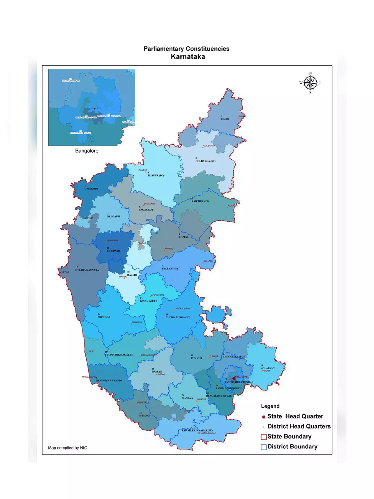
Number of Parliamentary Constituencies: 28
Main Rivers: Krishna, Tungabhadra, Sharavathi, Kaveri, Kabani
State Animal: Elephant
State Bird: Indian Roller
State Flower: Lotus
Official Website: www.karnataka.gov.in
Karnataka Map Districts List Download
There are 30 districts in Karnataka. Here is the complete list:
- Bagalkote
- Bangalore Rural
- Bangalore Urban
- Belgaum
- Ballari
- Bidar
- Chamarajanagar
- Chikkaballapur[67]
- Chikkamagaluru
- Chitradurga
- Dakshina Kannada
- Davanagere
- Dharwad
- Gadag
- Gulbarga
- Hassan
- Haveri
- Kodagu
- Kolar
- Koppal
- Mandya
- Mysore
- Raichur
- Ramanagara[67]
- Shimoga
- Tumakuru
- Udupi
- Uttara Kannada
- Vijayapur
- Yadgir
Download Karnataka Map Outline
Karnataka has a strong road network with 3,973 kilometers of national highways, 9,829 kilometers of state highways, and many other roads connecting various cities.
Download Karnataka Map Road
Download Karnataka Map Road & Tourist
By downloading the Karnataka Map PDF, you can easily explore the districts and taluks in this vibrant state. 🌏