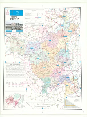
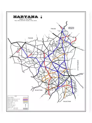
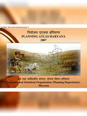
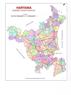
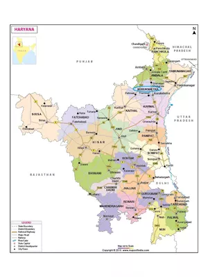
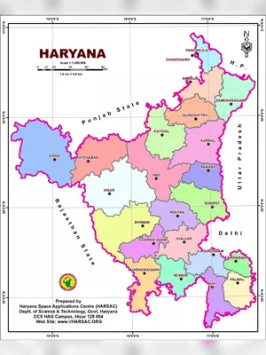
Haryana Maps
Haryana is a state in Northern India. It is bounded by Punjab on the northwest, on the north and northeast by Himachal Pradesh and Uttarakhand, on the east by Uttar Pradesh and the union territory of Delhi, and on the south and southwest by the state of Rajasthan.
The state was formed on November 1, 1966, and the total area of the state is 44,212 km2 (17,070 sq mi), which makes it the 21st biggest state in India by area. The density of the population in Haryana is 573/km2 (1,480/sq mi). The capital of Haryana is Chandigarh. The major rivers of the state are as follows: Yamuna, Sarasvati, Ghaggar, Markanda, and the Tangri river.
Here you can download the HD Haryana Maps in High Resolution, Haryana Road Map HD in PDF format for free from the link given.