Jharkhand District Map - Summary
Jharkhand is famously recognized as the “Land of Forests” because of its rich flora and diverse wildlife. This scenic state, known for its natural beauty, is perfect for nature lovers eager to explore its zoological gardens and national parks. Located in the eastern part of India, Jharkhand was carved out from southern Bihar and officially emerged as a new state in the year 2000. If you want to learn more about this beautiful region, consider downloading the Jharkhand District Map in PDF format.
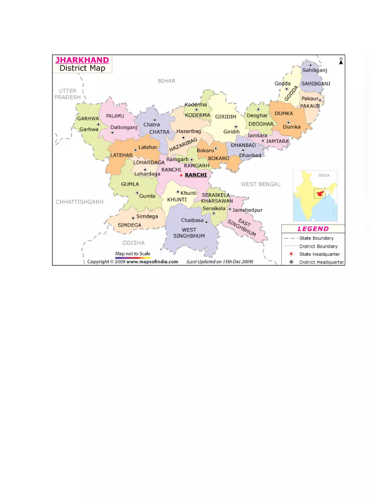
Overview of Jharkhand District
Here are some quick facts about Jharkhand:
– **Date of Establishment**: 15 / Nov / 2000
– **Covered Area**: 79,714 Square Kilometers
– **Population**: 3.19 crore (2012)
– **Number of Districts**: 24
– **Capital**: Ranchi
– **Major Forests and National Parks**: Hazaribagh Wildlife Sanctuary, Betla National Park
– **Rivers**: Subarnarekha, Damodar
– **Languages Spoken**: Santhali, Hindi, Urdu, Bangla, Malto, Karmali, Khariya, Ho, Sardi, Nagpuri, Panchparagnia, Khortha, Kurukh, Mundari
Jharkhand’s Geography
Jharkhand is located on the Santhal Parganas and the Chhota Nagpur Plateau, which covers most of the state. This plateau is home to important rivers, including the Koel, Brahmani, Damodar, Subarnarekha, and Kharkai.
Visitors can marvel at the stunning Lodh Falls and enjoy picturesque views of the lush forests, hills, and plateaus. Jharkhand’s dense vegetation is a thriving habitat for various wildlife species, such as Asian elephants and tigers. The soil in Jharkhand is primarily made up of broken stones and pebbles, showing a unique diversity throughout the region.
To explore the Jharkhand district more thoroughly, you can download the Jharkhand District Map in PDF format using the link provided below. This will equip you with all the essential details to navigate and appreciate this remarkable state! 🌳