Tamil Nadu Political Map - Summary
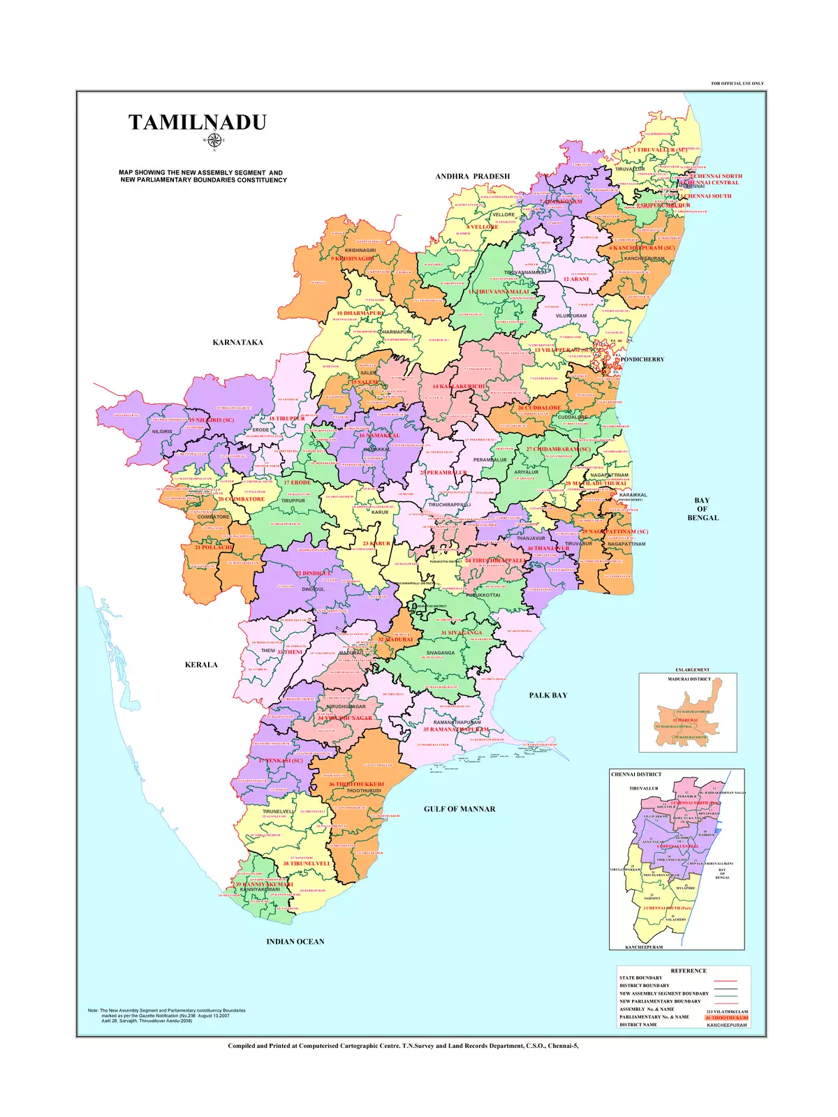
The Tamil Nadu Political Map is an excellent resource for understanding the vibrant and diverse Indian state of Tamil Nadu, which comprises a total of 38 districts. This structure has evolved from the original 13 districts established on 1 November 1956, following various reorganisations. Each district is further divided into taluks and smaller administrative units, showcasing the state’s extensive administrative framework.
Overview of Tamil Nadu’s Districts
Tamil Nadu’s districts are vital for its governance and development. By learning about these districts, you can grasp the political landscape and regional differences within the state. Whether you are a student, researcher, or merely curious, understanding these districts can enhance your knowledge of Tamil Nadu’s socio-economic structure.
How to Access the Tamil Nadu Political Map
You can easily download the Tamil Nadu Political Map in PDF format using the link provided below. This map offers a clear visual representation of the districts, making it simpler for you to comprehend the geography of Tamil Nadu.
Download the Tamil Nadu Political Map in PDF format using the link given below.