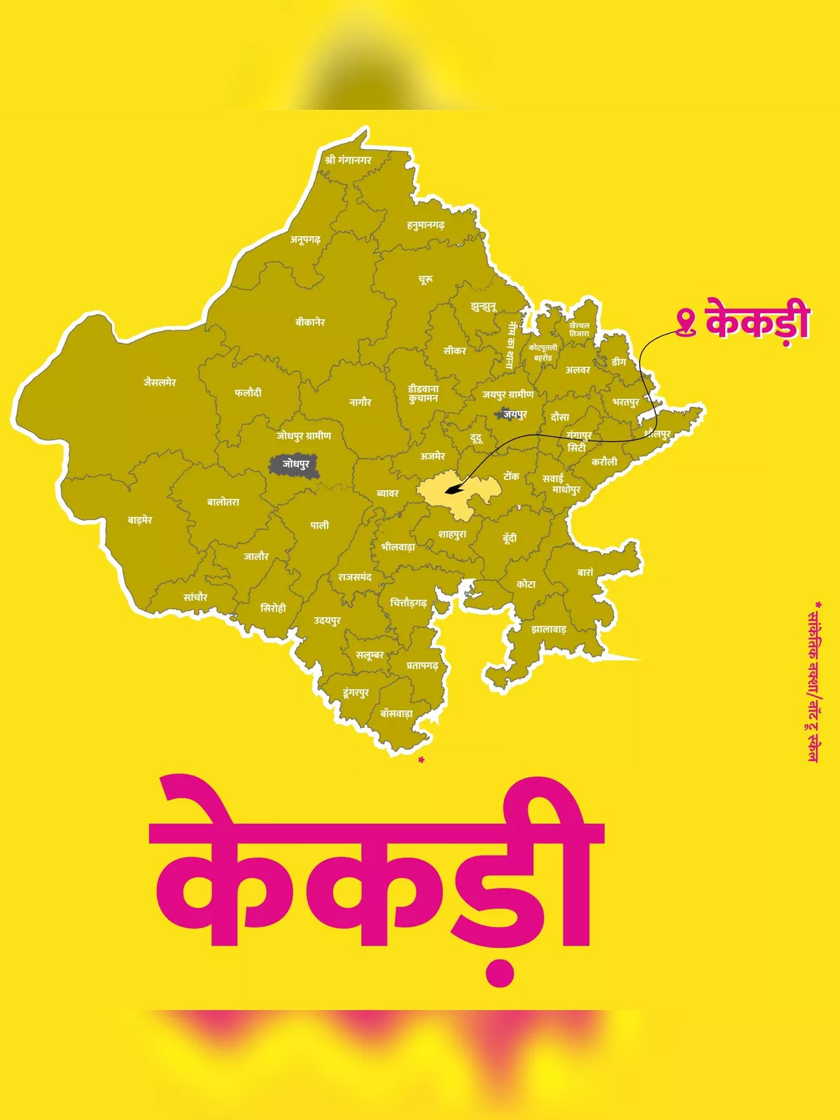
New Kekri District Map - Summary
Kekri is a vibrant city in the newly formed Kekri District of Rajasthan, India. Located around 90 km from the famous city of Ajmer, Kekri became its own district on March 17, 2023, having previously been part of the Ajmer district. The total geographical area of the village is 5076.1 hectares, making it a significant spot in the region.
As of now, Kekri has a population of 1,123 people, with 572 males and 551 females. The literacy rate in Kekri village is 46.04%, where 53.32% of males and 38.48% of females are educated. The village is home to about 214 houses, with the pin code for Kekri village locality being 305404.
Temples in Kekri District
Kekri District is known for its many beautiful temples, which include Charbhuja Mandir, Bijasan Mata Mandir, Shantinath Ji Digambar Jain Mandir, Laxminath Ji Mandir, Shiv Mandir, Kekradheesh Mandir, and Mehandipur Balaji Mandir. One special site is the ancient temple of Lord Devnarayan located in Nayagaon of Meena, which is about 12 km from Kekri. This temple hosts a large fair every year on Bhadrapad Shukla Saptami, attracting many visitors.
Download the New Kekri District Map
You can download the New Kekri District Map PDF using the link provided below. It’s a helpful resource to understand the region better and explore all that Kekri has to offer. 📥