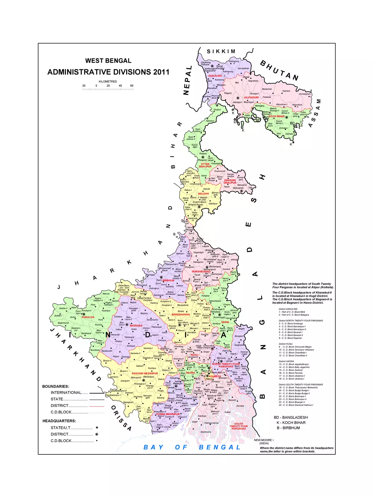
West Bengal Map

0 People Like This
❴SHARE THIS PDF❵ FacebookX (Twitter)Whatsapp

West Bengal Map

West Bengal is an Indian state located in the eastern India. The state extends from Bay of Bengal in the south to the Himalayan mountain ranges in the north. The capital of the state of West Bengal is Kolkata and it is the biggest city of the state as well. In Bengali language, it is referred to as Paschim Banga. The state covers a total area of 34,267.3 sq miles or 88,752 km2.

You can download the West Bengal Map in PDF format using the link given below.

West Bengal Map PDF Download Free

REPORT THISIf the download link of West Bengal Map PDF is not working or you feel any other problem with it, please REPORT IT on the download page by selecting the appropriate action such as copyright material / promotion content / link is broken etc. If West Bengal Map is a copyright material we will not be providing its PDF or any source for downloading at any cost.

RELATED PDF FILES

Exit mobile version