Tamil Nadu River Map
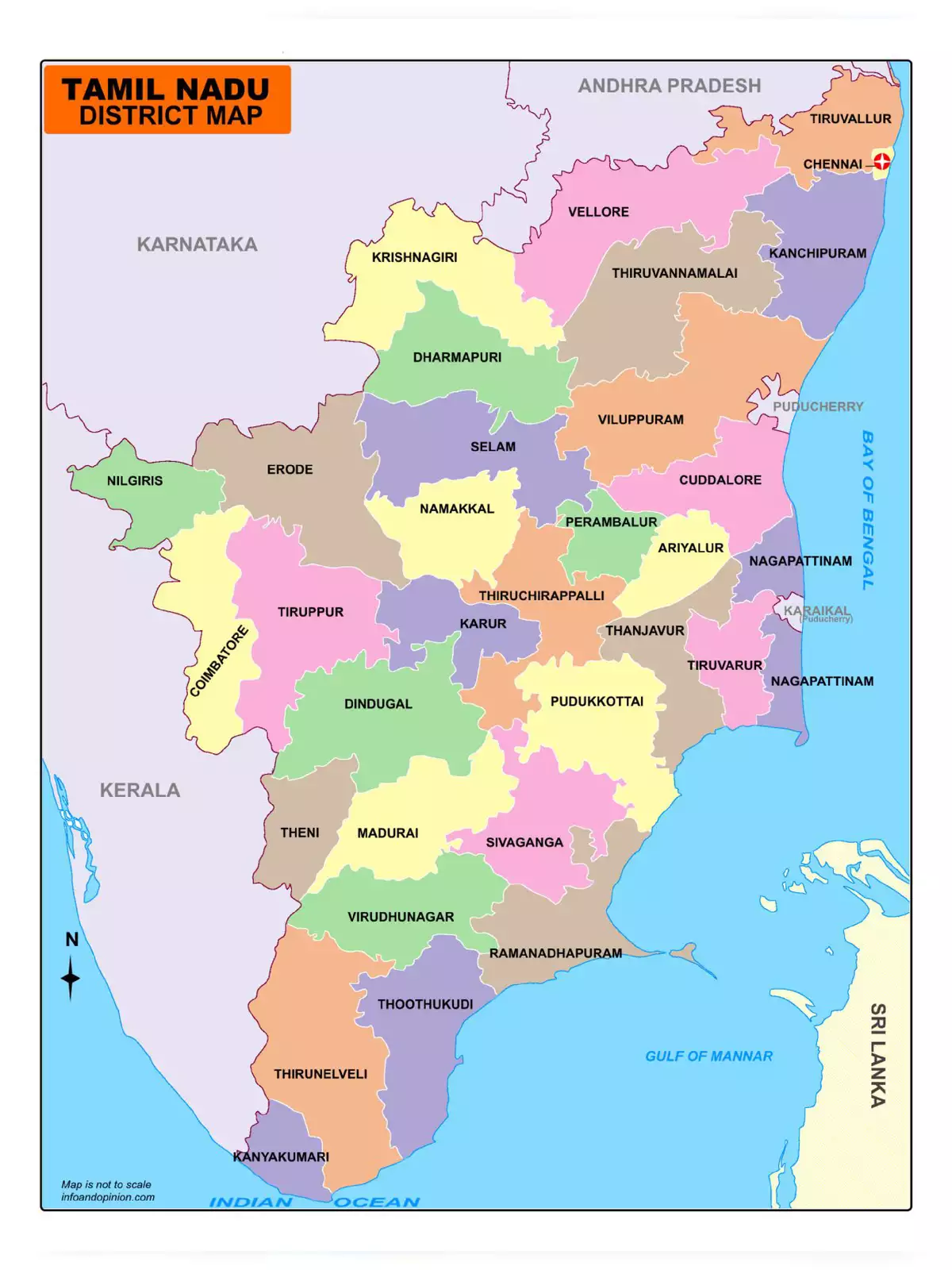
Tamil Nadu, the southernmost state of India. It is bounded by Andhra Pradesh on the north, Karnataka on the northwest, and Kerala on the west. The eastern coast has the Bay of Bengal whereas the southern coast has the Indian Ocean as boundaries. The higher percentage of rural population indicates agriculture as mainstay of livelihood.
You can download the Tamil Nadu River Map in PDF format using the link given below.