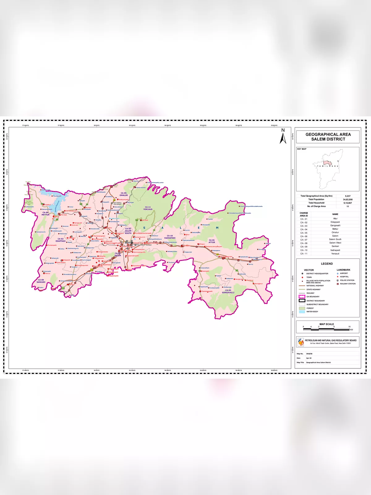
Salem District Map
Salem District was formed on 1772. Salem District is situated between 11 14’ and 12 53’ in North Latitude between 77 44’ and 78 50’ in East longitude and bounded on North by Dharmapuri District, South by Trichy and Namakkal District, East by Villupuram and Perambalur Districts and West by Erode District and Karnataka State.
Salem is Geologist’s paradise, surrounded by hills and the landscape dotted with hillocks. Salem has a vibrant culture dating back to the ancient Kongu Nadu. As a district, Salem has its significance in various aspects. There are many things in Salem that are noteworthy by virtue of its location and social set-up.
Salem District Map – History
| 3rd Century B.C. | The period of Bogar – a notable Tamil Siddhar. Arrival of Buddhism and Jainism in Salem. |
| 1st Century A.D. | Around the beginning of the Christian era, the existence of a culturally and economically advanced society in Salem two thousand years ago is evident from the discovery of silver coins of the Roman Emperor Tiberices Claudices Nero (37-68) in Koneripatti of Salem in 1987. |
| 2nd Century A.D. | Pandiyan dynasty rules Salem.
Pandiyan Nedunchezhiyan Kanaikal Irumporai rules KolliMalai. |
| 4th Century A.D. | Rise of Pallava dynasty in Salem. |
| 6th Century A.D. | Period of MahendraVarmaPallva. Rise of Saivite principles. |
| 7th Century A.D. | Weakening of Buddhism & Jainism. Period of NarasimhaVarmaPallava. |
| 8th Century A.D. | Pandiyan dynasty in Salem. |
| 9th Century A.D. | Rise of Saivasamayam and fading away of Jainism and Buddhism. Rise of Pallava. |
| 10th Century A.D. | Rise of Chozha dynasty and decline of Pallavas. |
| 11th Century A.D. | Chozha rule. |
| 12th Century A.D. | Rise of Hoysala rule in parts of Salem. |
| 13th Century AD. | Hoysala rule established; Parts of Salem remained under Pandiyan dynasty. |
| 14th Century A.D. | 1310 Malikkafur goes through Salem. 1368- Salem under Vijaya Nagar Empire |
| 15th Century A .D. | The Chalukya rule. Rise of Palyakarars. |
| 16th Century A.D. | Rule of Madurai Nayakars. Rule of Emperor Krishnadheva Raya in part of Salem including Attur. |
| 17th Century A.D. | Rise of local chieftains Gatti and Nayakas. Palayakara rule. |
| 18thCentury A.D. | Rule of Hyder Ali and Tipu Sultan. Taking over by British. 1772 – First Collector to Salem. |