Rajasthan Map
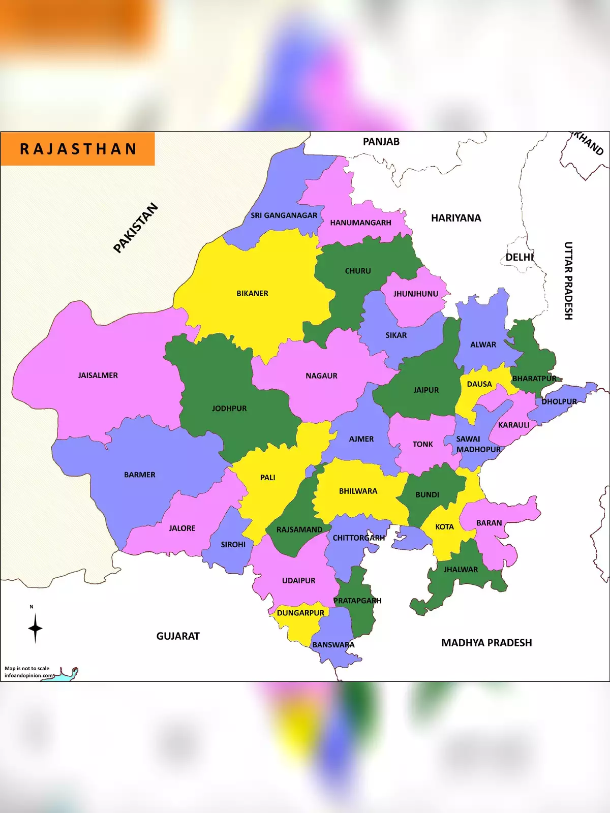
Rajasthan is situated in the northwest of India. Rajasthan is the largest state in terms of area of India, which is covered 11% of the land area of the Indian subcontinent. Rajasthan state came into its present form on November 1, 1956.
The state shares its border with Pakistan on the west and northwest side. It is bounded to the north and northeast by Punjab, Haryana and Uttar Pradesh to the southwest by Gujarat, and to the southeast by Madhya Pradesh.
Also Check
– Rajasthan Administrative Division Map
You can download the Rajasthan Map in PDF format using the link given below.