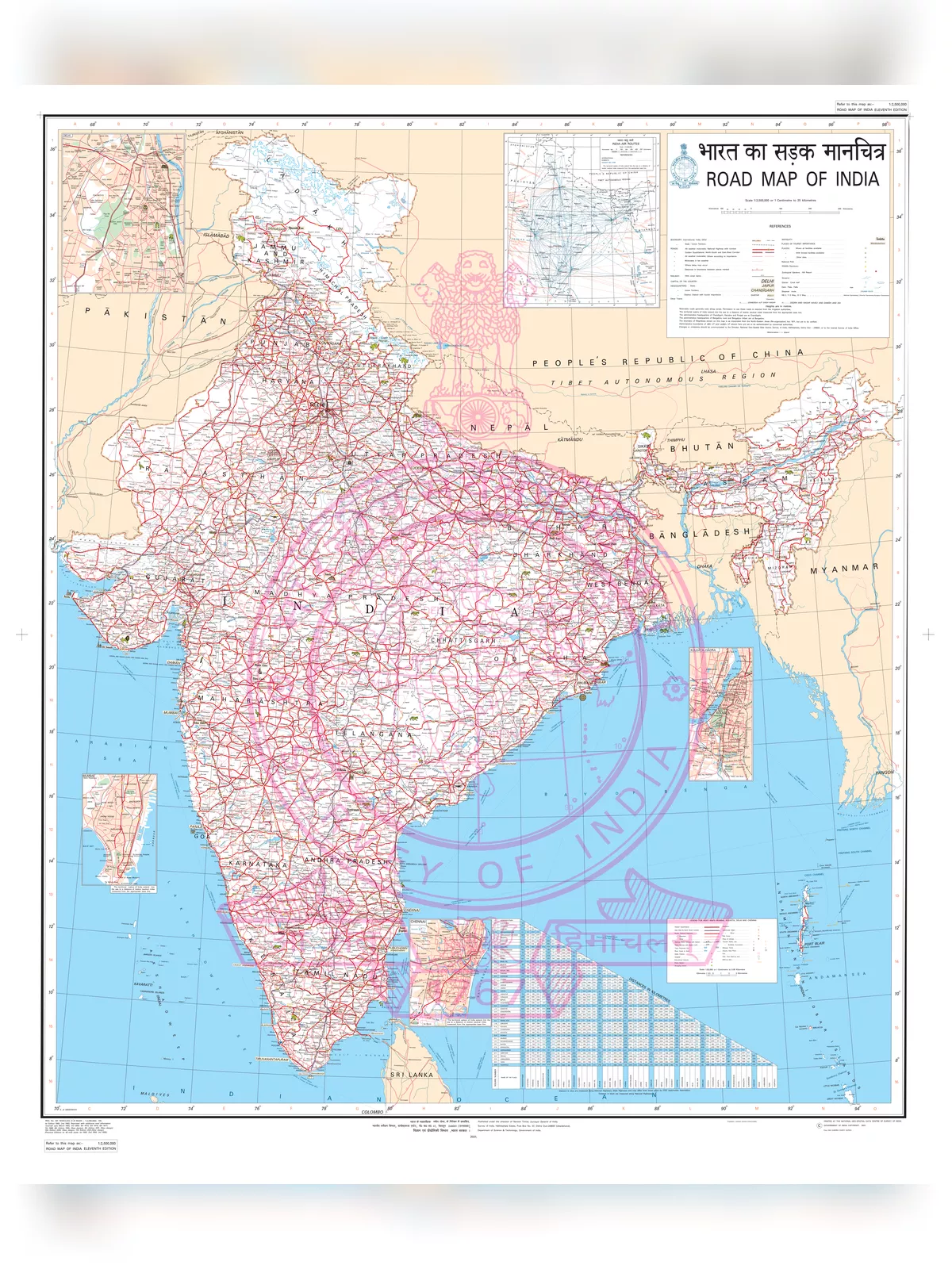
India Road Map
India road maps make you familiar with the Indian road network. India has a total road network of 3,320,410 kilometers, which is the third-biggest road network in the world.
For every square kilometer of land, there is 0.66 km of highways in the country. The density of the highway network of India is somewhat more than compared to the United States (0.65) and substantially higher than compared to Brazil (0.20) and China (0.16).
India Road Map
| Indian Road Network | |
|---|---|
| Type | Length (km) |
| State Highways | 128,000 |
| Expressways/National Highways | 66,754 |
| Rural and other roads | 2,650,000 |
| Important district roads | 470,000 |
| Total (approximate figure) | 3,314,754 |
National Highways in India
The National Highways are the principal highways moving across the length and breadth of the nation, joining important harbours, big commercial and tourism hubs, state capitals, and so on. National Highways in the country are represented as NH, and then the highway number comes after it. These highways are again categorized on the basis of the girth of the motorway of the road. Usually, for a single lane, the breadth of the lane is 3.75 meters. At the same time, for National Highways with many lanes, the breadth of every lane is 3.5 meters.
Till the month of September 2011, the country had finished and put into operation newly constructed highways as given below:
- East-West and North-South Corridor highway (5,831 km) 4-lane
- Golden Quadrilateral highway (5,829 km) 4-lane
- Inter-capital highways (1,342 km) 4-lane
- Port connectivity highways (330 km) 4-lane
- Bypass and other national highways (945 km) 4-lane.
Download the India Road Map PDF using the link given below.