India Political Map Blank A4 Size
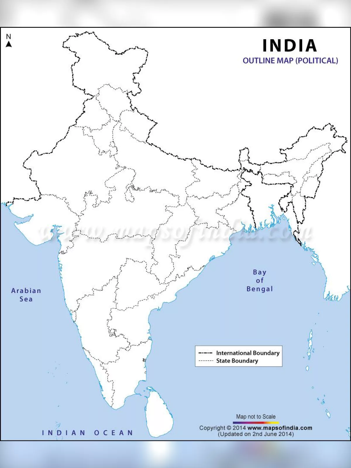
India Political Blank outline maps of India are available in both online and offline versions. The offline version of this map is nothing but a printable outline map that can be used for educational purposes. An Outline map of India helps you locate all the boundaries of the states in the country. It is a perfect guide for the students of geography to know about the various states in India along with their frontiers.
India ranks the seventh biggest nation in the world in terms of geographical area. It is also the second-largest country in Asia and shares its international boundaries with countries like Burma, Bangladesh, China, Bhutan, Pakistan, and Nepal. The India Political map shows all the states and union territories of India along with their capital cities. It comprises a total of 28 states along with eight union territories.
India Political Map Blank A4 Size – Overview
| File Name | India Political Map Blank A4 Size |
| Uses | For Students and other |
| Country Map | India |
| Issused by | Indian Government |
| Official Website | surveyofindia.gov.in |
| India Political Map Blank A4 Size PDF | Download PDF |
India Political Map Benefits
- One significant advantage of using a blank outline map of India is that this map also indicates the international frontiers of the nation with other neighbouring countries such as Bangladesh, Pakistan, China, Nepal, Burma and Bhutan. You can also get a glimpse of the Bay of Bengal, the Indian Ocean, and the Arabian Sea that edge the country to the southern side.
- Political Map is used to show governmental boundaries of countries, states, counties and the location of major cities. A political map is useful in the determination of regional socio-political trends that affect group behavior and possible government outcomes.
You can download the India Political Map Blank A4 Size PDF using the link given below.